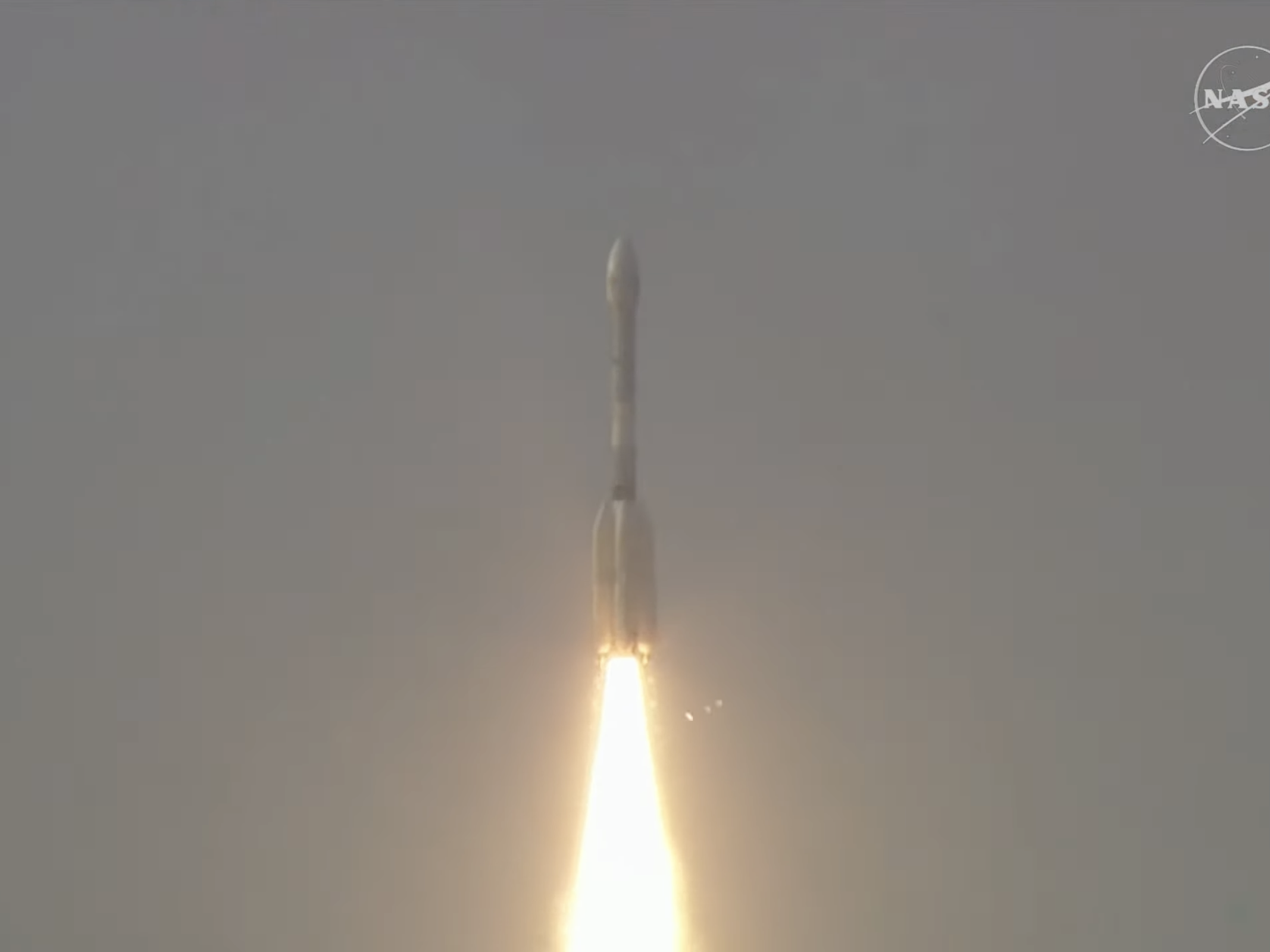
NASA and the Indian Space Research Organisation (ISRO) have launched the NISAR satellite, a joint Earth-observation mission designed to provide detailed radar imaging of the planet’s land and ice surfaces. The satellite was lifted off on July 30 from the Satish Dhawan Space Centre in Sriharikota, India.
The NASA-ISRO Synthetic Aperture Radar (NISAR) satellite aims to enhance global monitoring of environmental changes, including natural hazards, infrastructure stability, and shifts in ecosystems. Equipped with a dual-frequency radar system, the satellite represents the first collaborative hardware effort between the two space agencies for Earth science.
“The satellite will monitor nearly all of Earth’s land and ice surfaces, capturing unprecedented data that will deepen our understanding of the changes on Earth’s surface,” the mission team said in an official release.
NISAR’s payload combines L-band and S-band radar systems, designed to capture three-dimensional surface data with high resolution. The sensors are optimized to detect subtle movements and variations, such as ground moisture, surface roughness, and geological shifts. These measurements are expected to support research on earthquakes, landslides, and volcanic activity, while also aiding emergency response teams during natural disasters.
Beyond geophysical hazards, the satellite will also track environmental processes, including glacier melt, sea ice thinning, and changes in forest cover. Its data is expected to contribute to studies on the global carbon cycle, particularly by observing how deforestation, permafrost melt, and wildfires affect carbon storage and emissions.
NISAR is designed for a three-year mission and will scan nearly the entire Earth’s land and ice surface every 12 days. Scientists anticipate that the satellite’s consistent and wide-ranging data will support a range of scientific and operational applications.
Sources: Nasa and Jet Propulsion Laboratory
