
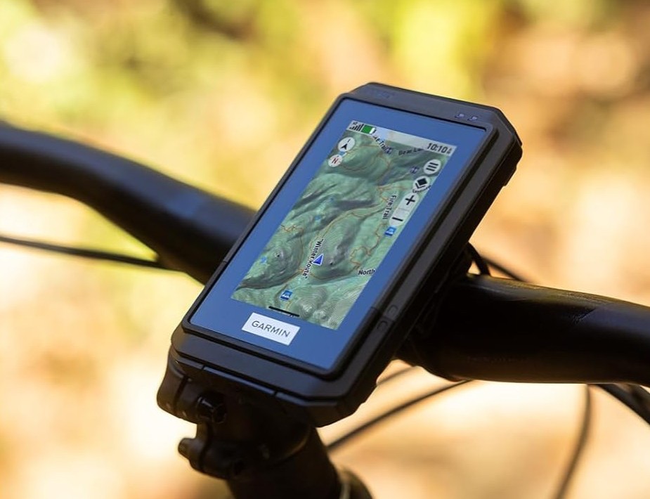
Garmin has released the eTrex Touch, a new GPS handheld navigator designed for hiking and cycling, expanding its eTrex product line worldwide.
The device features a 3-inch transflective color touchscreen with 240 x 400 resolution, making maps easier to manipulate on the go. Preloaded TopoActive maps display trails, terrain contours and water features, while users can add more detailed views through Garmin’s Outdoor Maps+ subscription. “The new eTrex Touch has a larger 3-inch transflective color TFT display, with a 240 x 400 px resolution,” the company said.
The unit supports multi-band GPS and multi-GNSS for stronger signal accuracy, alongside a digital compass and Geocaching Live updates. Connectivity with the Garmin Explore app enables route planning and real-time weather forecasts.
Powered by a rechargeable lithium-ion battery, the navigator offers up to 130 hours of use with all satellite systems active, and up to 650 hours in expedition mode. It comes with 32GB storage, an IP67 rating for dust and water resistance, and weighs about 150 grams.
The Garmin eTrex Touch is now available through the company’s website and major retailers including Amazon, priced at $449.99 in the United States, £389.99 in the United Kingdom, and €449.99 in Europe.
Source: Garmin