
NASA is supporting the development of HydroFlame, an online tool designed to forecast how wildfires may affect water systems. The platform uses satellite data, hydrologic modeling and artificial intelligence to predict secondary risks such as mudslides, flash floods and contamination of surface water.
The tool is being developed in partnership with the University of Texas at Arlington, Purdue University, the U.S. Geological Survey and other research institutions. It is currently in pilot use in Montana’s Clark Fork Basin, with plans to expand coverage to California and Utah. Fieldwork in Los Angeles County will include the installation of stream sensors to strengthen its predictive capacity.
HydroFlame integrates historical fire data, satellite observations and river records into models that simulate post-fire impacts on soil, vegetation and water flow. Where gauges are absent, machine learning techniques estimate missing information. The system is being built with three main components: a historical viewer to map past events, a scenario-building tool to simulate potential future wildfires, and a predictive model that generates weekly forecasts.
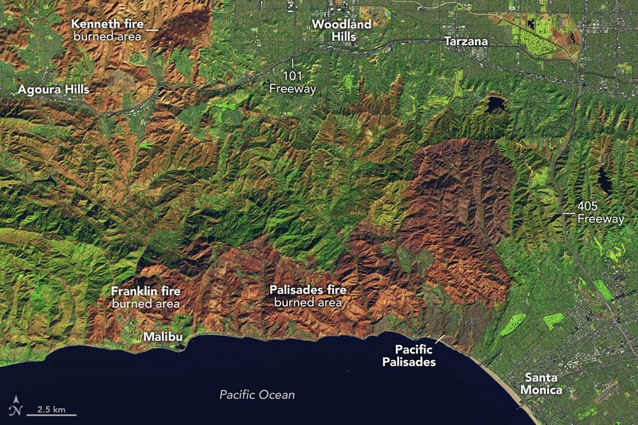
A preliminary trial took place during the January 2025 wildfires in Los Angeles. The system produced forecasts that aligned with mudflows observed in Altadena and Sierra Madre the following month, though the results were not formally verified due to a lack of on-the-ground sensors.
Researchers emphasize that the tool is intended to make wildfire-driven water risks more visible for local officials, utilities and conservation groups. By linking fire activity with water management, HydroFlame is designed to help communities shift from reactive measures to advance planning.
NASA views HydroFlame as part of a broader effort to address the long-term impacts of wildfires, including the way burned landscapes alter soil stability, rainfall absorption and runoff for years after a fire.
Source: NASA