
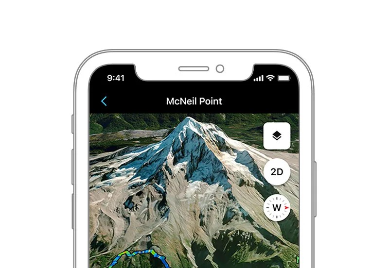
Garmin has introduced a 3D maps feature to its Connect mobile app, expanding the list of tools available exclusively to subscribers of Garmin Connect+, its premium service launched earlier this year. The company said the addition forms part of its ongoing effort to grow the subscription offering. The original article noted that the update “joins a host of other features behind the paywall.”
The new 3D Maps tool generates three-dimensional topographic views of routes, allowing users to examine the terrain of planned courses or review the landscape of completed activities. The feature is designed to help runners, hikers and cyclists better assess elevation and surface conditions that may influence performance.
See also: Garmin Patent Reveals Digital Crown With Hall Sensor and Inertial Scrolling
Connect+ is priced at US$6.99 per month or US$69.99 annually and already includes a range of advanced metrics, including AI-driven insights on health and training data. Subscribers also gain access to a dedicated performance dashboard, real-time activity summaries and exclusive coaching programmes across running, cycling and general fitness.
The arrival of 3D maps accompanies Garmin’s broader November 2025 software update across supported devices. The rollout also includes enhancements for products such as the Edge 850 cycling computer, which the original article referenced in its coverage of the update.
See also: Garmin Plans Updates to Premium Connect+ Service
Garmin has not indicated whether the new mapping capability will eventually extend to non-subscribers, maintaining its strategy of reserving high-end analytical tools for paying users.
Source: Garmin