
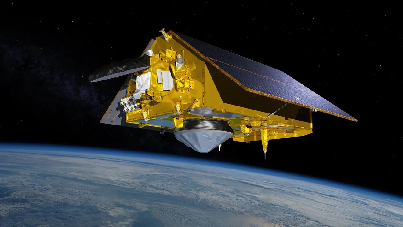
NASA, together with European and U.S. partners, is set to launch Sentinel-6B, a satellite designed to provide critical ocean data including sea level, wind speed and wave height. The spacecraft will enhance maritime forecasts and help ships avoid dangerous conditions linked to ocean currents.
The mission is a collaboration between NASA, the European Space Agency (ESA), the European Union, EUMETSAT, and the U.S. National Oceanic and Atmospheric Administration (NOAA). It follows decades of satellite-based sea monitoring that began with the Topex/Poseidon mission in 1992 and continued through the Jason series and the Sentinel-6 Michael Freilich satellite.
Using its advanced altimeter, Sentinel-6B will deliver broader coverage than existing ocean sensors, which are scattered across the seas and limited to monitoring small areas. The new satellite will help meteorologists improve models of ocean dynamics, including the Gulf Stream, a major current whose interactions with waves can create rough conditions for ships.
“Sentinel-6B will bridge those gaps. It will provide a wider coverage, equipping meteorologists with information about areas not regularly monitored,” NASA said in a mission overview.
The satellite is part of the Sentinel-6/Jason-CS (Continuity of Service) program, aimed at ensuring uninterrupted global sea level observations.
Source: NASA