
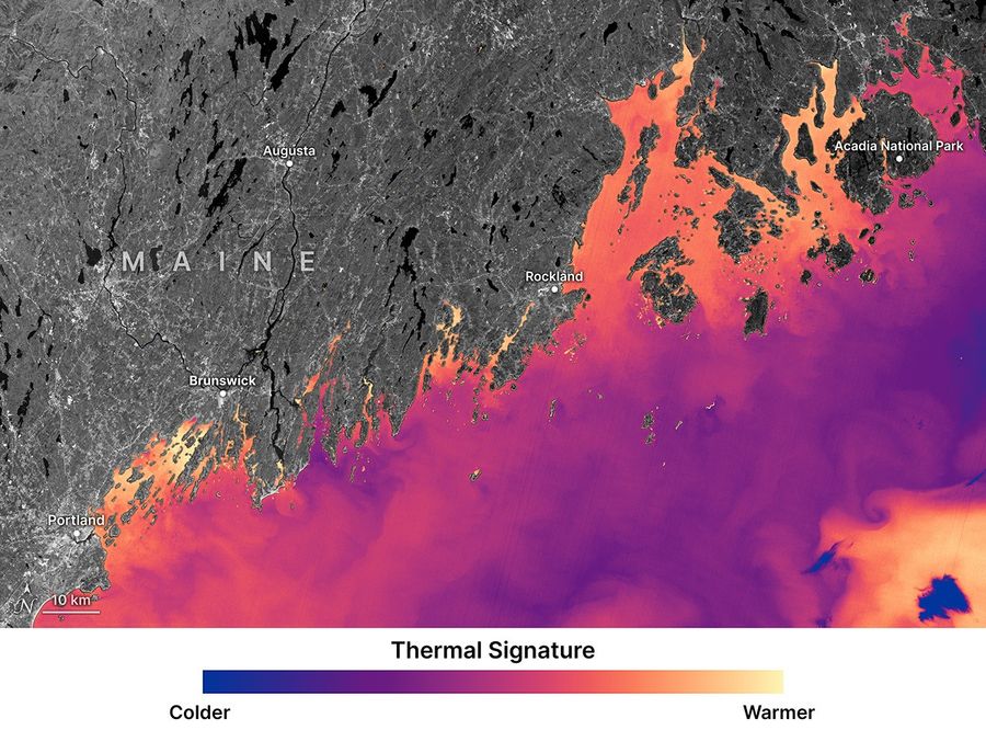
Satellite data from NASA and European space agencies are being used to support oyster farming along the coast of Maine, helping growers identify suitable sites and better estimate how long shellfish may take to reach market size.
Researchers at the University of Maine have combined sea surface temperature records from NASA and U.S. Geological Survey Landsat satellites with plankton indicators derived from Europe’s Sentinel-2 mission to model oyster growth. The approach analyzes how environmental factors influence feeding and development, offering predictions that go beyond simple site selection.
See also: NASA’s StarBurst Mission Clears Key Tests Ahead of Planned Launch
The method has been applied in Maine’s complex coastal environment, where water temperature and circulation can vary sharply over short distances. By using long-term satellite observations, farmers can reduce the risk of investing in locations that may not support consistent oyster growth.
The research, published in the journal Aquaculture on Jan. 15, comes as Maine’s oyster industry continues to expand, with production values rising significantly over the past decade. Longer permitting processes and multi-year grow-out periods have increased the importance of reliable planning tools for new and existing farms.
See also: NASA’s Pandora Satellite Begins Mission to Clarify Exoplanet Atmosphere Signals
The research team is now working on an online platform that would allow growers to estimate time-to-market for specific coastal sites, while future satellite missions are expected to provide even more detailed data on coastal water conditions and food availability.
Source: Nasa